Topographic surveys
The drone-based topographic survey is a revolution for professionals in construction, engineering, and land use planning. Faster and less burdensome than traditional methods, it allows for the mapping of large areas with exceptional precision, while reducing costs and intervention times.
We use LiDAR and or photogrammetry to obtain an accurate representation of the terrain, essential for the design and planning of projects.
The drone allows easy access to hard-to-reach sites, thus avoiding the risks associated with surveys in rugged or dangerous environments. The collected data enables the analysis of the terrain, estimation of earthmoving volumes, and monitoring of project progress with great precision.
Whether for the implementation of infrastructure, urban planning, or natural resource management, drone-based topographic surveying provides a detailed and usable overview, ensuring quick and informed decision-making.
An ultralight aircraft ready for takeoff
Our G1 Spyl XL ULM is perfectly suited for aerial topographic capture:
- We can equip it with a LiDAR YellowScan or a Phase One 180MP camera according to the mission requirements.
- Large payload capacity to carry heavy professional sensors.
- Exceptional flight stability for optimal data quality.
- Significant autonomy allowing coverage of large areas in a single mission.
- Low vibrations and structure adapted for high-precision capture.

The solutions for capturing with drones or ultralight aircraft
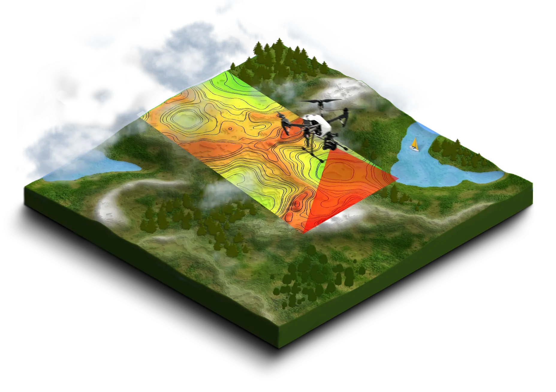
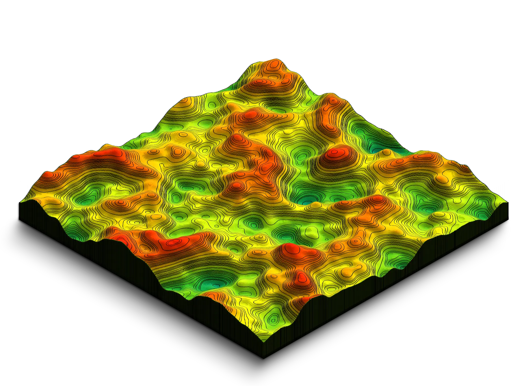
LiDAR
Technology that uses a laser to accurately measure the terrain's relief, even under vegetation.
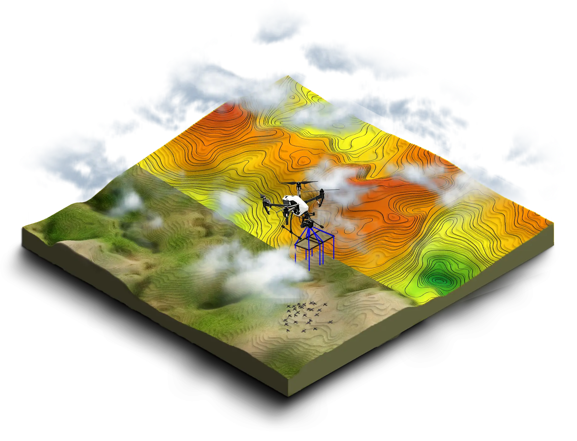
Photogrammetry
Technology that allows for the creation of an accurate 3D model of a terrain from photos taken from different angles.
The two methods can be used together for a more detailed output
Related solution
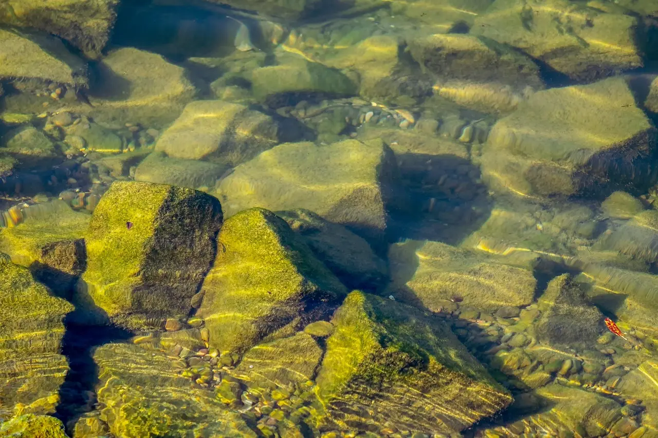
Bathymetry
Technology that allows for the precise mapping of seabeds, rivers, lakes, and other aquatic environments.
Demander votre devis
Vous recevrez
Un besoin compris, une solution sur-mesure.
Un tarif personnalisé à votre demande.
L’exigence terrain, l’expérience Synerops.
Contactez-nous