LiDAR
LiDAR (Light Detection and Ranging) is a remote sensing technology that uses laser beams to measure distances between a sensor and an object with high precision. Unlike photogrammetry, which relies on image analysis, LiDAR directly generates a 3D point cloud by measuring the time it takes for light to return to the sensor after hitting a surface.
The LiDAR system emits a laser beam (often in the infrared or near ultraviolet) that reflects off encountered surfaces before being captured by a receiver.
The distance is calculated using the time of flight (Time of Flight - ToF) of light.
This method allows for extremely precise measurements (about 4cm of accuracy).
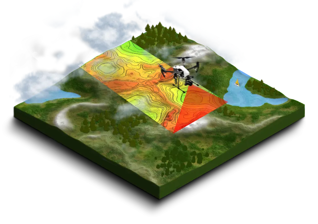
The LiDARs we use are coupled with a GPS and an inertial measurement unit (IMU) to compensate for the sensor's movements and obtain accurate measurements even while in motion.
Once the measurements are collected, a dense point cloud is generated. Each point in the cloud has:
- X, Y, Z coordinates for its position in space.
- An intensity of reflection (allowing for the identification of materials).
- His return number (used to classify the items).
Once the raw data is collected, several processes are carried out:
- Filtering and classification: separation of soil, vegetation, and artificial structures.
-
3D Model Generation:
- Digital Terrain Model (DTM): representation of the ground without obstacles.
- Digital Surface Model (DSM): includes buildings and vegetation.