La photogrammétrie
Photogrammetry is a technique that allows for the reconstruction of a three-dimensional model of an object or surface from 2D images taken from different angles. It is based on principles of stereoscopic vision and spatial reconstruction algorithms to extract geometric and textural data with high precision.
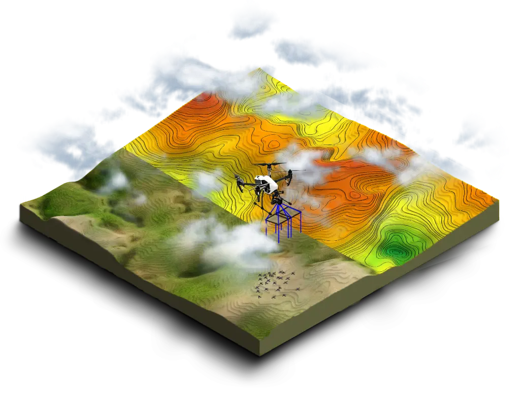
Data acquisition is carried out using optical sensors (RGB, multispectral, or thermal cameras) mounted on drones, airplanes, or ground devices. To ensure sufficient overlap between images (generally between 60 and 80% overlap), automated flight plans are defined to capture images from different angles.
Each image contains characteristic points (features), such as edges, textures, or contrasts. Detection algorithms identify these points and associate them with the same elements present in other images taken from different angles.
Once the correspondences between the points are established, Structure from Motion (SfM) is used to estimate the position and orientation of each image in space. This step relies on photogrammetric triangulation techniques, which exploit perspective differences to reconstruct the spatial coordinates of each point in 3D.
By projecting the pixels of the images onto the generated spatial model, a dense point cloud is obtained that represents the observed surface. Each point has X, Y, Z coordinates and, depending on the sensors used, a color value or spectral information.
From the point cloud, several derivative products can be generated:
- Digital Surface Model (DSM): Includes the topography and all present objects (buildings, vegetation, etc.).
- Digital Terrain Model (DTM): Filtered to retain only the ground without obstacles.
- 3D Mesh: Creating a continuous surface by interpolating the points of the cloud.
- Orthophotographie : Image cartographique géoréférencée et rectifiée en éliminant les distorsions de perspective.
Once the 3D model is generated, it can be used for various applications:
- Topography and cartography: Precise measurement of distances, volumes, and altitudes.
- Industrial and Infrastructure Inspection: Analysis of defects in structures such as bridges, dams, wind turbines, or solar panels.
- Precision agriculture: Monitoring of crop status and multispectral analysis.
- Construction and Public Works: Site monitoring, earthworks control, and infrastructure modeling.
Modern photogrammetry solutions allow for the automatic and rapid processing of this data, making this technology essential for many sectors.