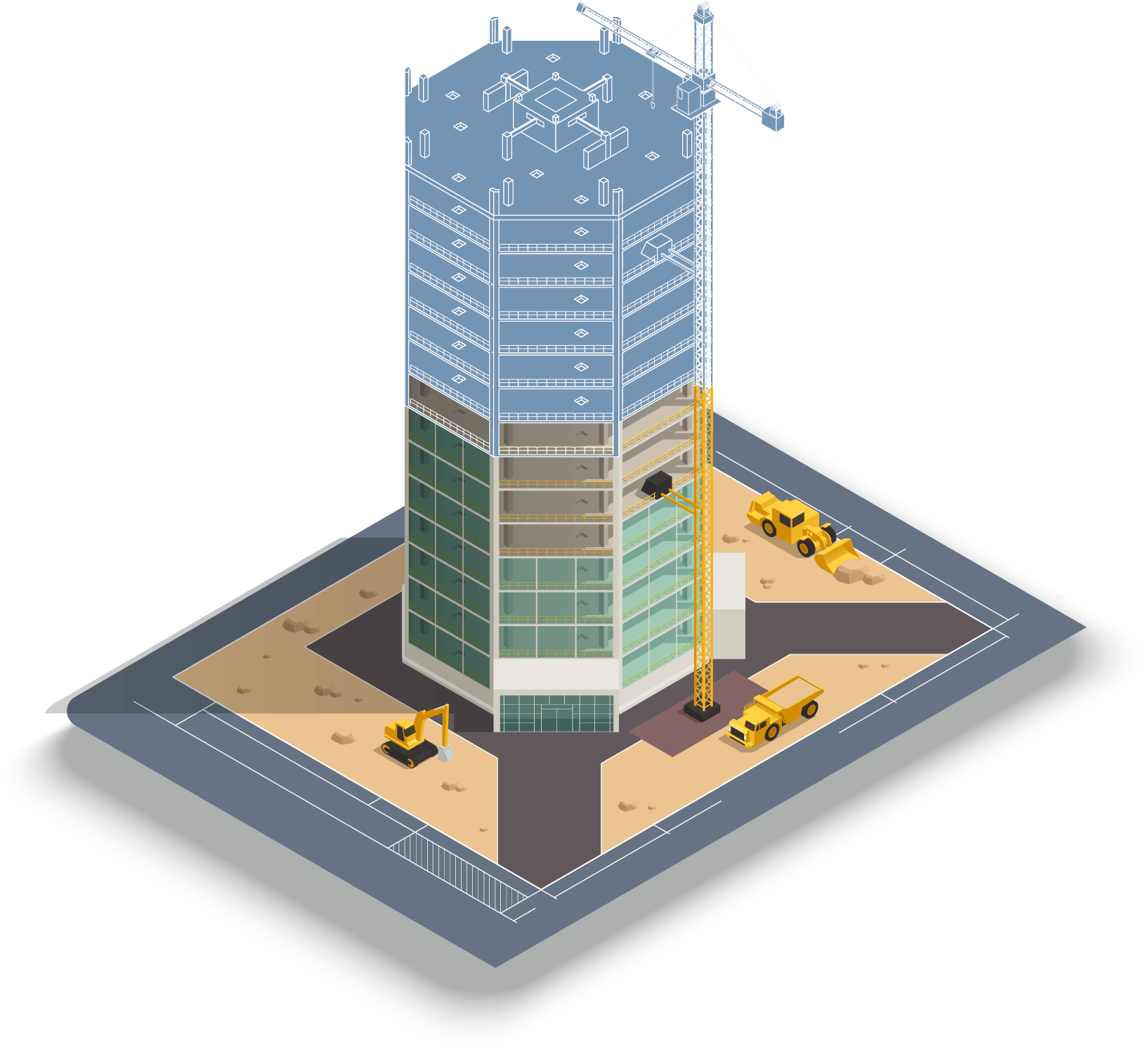
Work monitoring
The use of drones for project monitoring is revolutionizing construction management by providing a comprehensive, precise, and up-to-date view of project progress. Through various capture and analysis methods, it enables project owners, site managers, and engineering firms to track each phase of the construction site with unmatched accuracy, optimize logistics, and ensure adherence to deadlines and budget.
Among the main methods used, photogrammetry allows for the creation of 3D maps and high-resolution orthophotos, facilitating the comparison between the actual state of the construction site and the projected plans.
The aerial timelapse provides an animated chronological view of the work, allowing for the visualization of their progress and the identification of any potential delays or blockages.
The use of 3D modeling and digital twins allows for a detailed analysis of structures and better anticipation of resource and material needs.
The integration of data captured in a GIS improves coordination among the various project stakeholders and facilitates real-time decision-making.
By reducing the need for on-site inspections and limiting errors related to manual surveys, drone site monitoring optimizes operations and secures the entire construction process. This technology is therefore a strategic asset for ensuring precise management, better communication, and effective project management in construction.
Related products

Topographic survey
Accurate georeferenced data for your studies, plans, and installations, serving your field projects.

3D Modeling
A digital replica of your assets for wealth management, project progress tracking, and inspection.
Demander votre devis
Vous recevrez
Un besoin compris, une solution sur-mesure.
Un tarif personnalisé à votre demande.
L’exigence terrain, l’expérience Synerops.
Contactez-nous