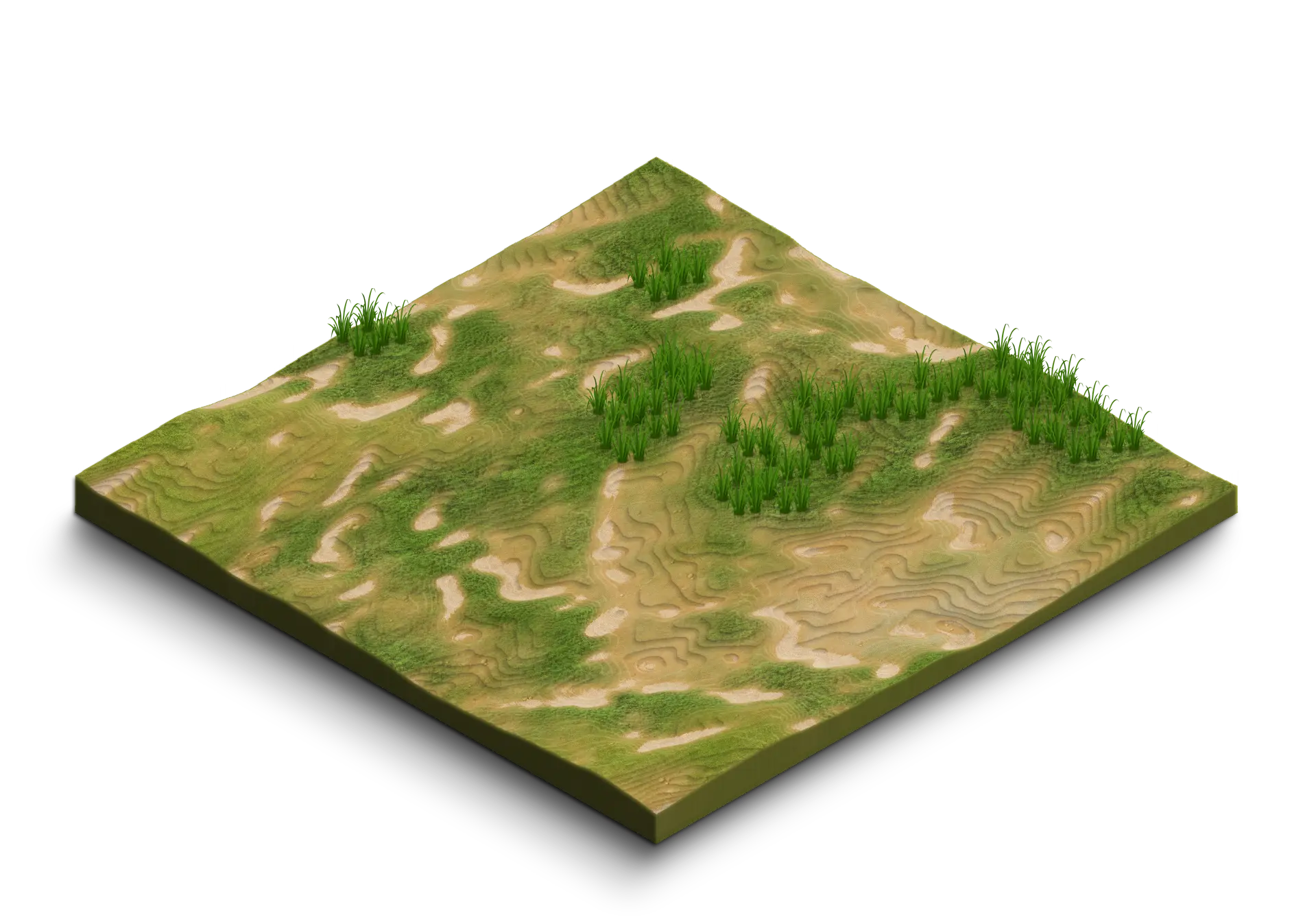
Parcel Mapping
Our drone mapping services provide farmers with precise tools to analyze their fields in detail.
By providing high-resolution maps and detailed geospatial data, we enable optimized crop management, efficient use of inputs, and proactive monitoring of plantation health.
Monitoring crop health with the NDVI index
The use of the normalized difference vegetation index (NDVI) is at the heart of our approach to assessing crop health.
This index measures the density and vigor of vegetation by analyzing the reflectance of light in the red and near-infrared bands. High NDVI values indicate healthy vegetation, while low values may signal issues such as nutrient deficiencies, diseases, or water stress.
By regularly monitoring NDVI values, we help farmers to early detect areas requiring special attention, thus enabling targeted interventions to maintain or improve yields.

A soil that is too dry causes water stress in plants, limiting their growth and reducing agricultural yields. Additionally, drought can promote the emergence of diseases such as scab in certain crops, particularly potatoes. Finally, a dried-out soil is more susceptible to water erosion during rainfall, which can lead to the loss of fertile arable land.
An excessively wet soil can lead to the suffocation of plant roots, limiting their ability to absorb water and essential nutrients, which can reduce crop productivity. Additionally, excess water promotes soil compaction, decreasing its porosity and hindering the circulation of air and water, which affects root growth. Furthermore, waterlogged soils are more likely to experience erosion, resulting in the loss of the fertile topsoil.
Demander votre devis
Vous recevrez
Un besoin compris, une solution sur-mesure.
Un tarif personnalisé à votre demande.
L’exigence terrain, l’expérience Synerops.
Contactez-nous