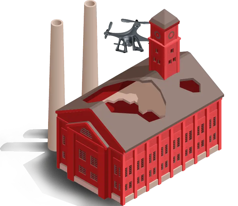
Post-disaster inspection
After a disaster (fire, flood, storm, explosion, collapse…), drone inspection has become an essential solution for damage assessment. Fast, precise, and secure, it allows access to affected areas without exposing teams to the risks of collapse, pollution, or structural instability. We conduct detailed captures, providing an overview of the damage as well as precise analyses of the smallest anomalies invisible to the naked eye.
Drone imagery provides essential visual and technical evidence for establishing insurance assessments or expert reports after a loss.
By providing an accurate 3D modeling of the damaged site, it facilitates loss assessment, cost estimation for repairs, and accelerates compensation.
Thanks to reliable digital traceability, these recordings can be integrated into investigation files, judicial expert reports, or compensation claims, ensuring documentation that meets the requirements of insurance companies and courts.
Secure and optimize post-incident management
- Legal finding and digital evidence: georeferenced photos and videos usable within a legal framework.
- Immediate intervention: emergency deployment, without heavy logistical constraints.
- Access to hazardous areas: data collection without risking the lives of experts and stakeholders.
- 3D Modeling : allows for the detailed analysis of the impacted structures.
- Reduction of timeframes and costs: optimization of decision-making and action plans.
The use of drones after a disaster allows for a quick and methodical response, promoting effective management of interventions, from damage assessment to reconstruction, while ensuring total transparency for stakeholders (insurers, experts, communities, businesses).
Demander votre devis
Vous recevrez
Un besoin compris, une solution sur-mesure.
Un tarif personnalisé à votre demande.
L’exigence terrain, l’expérience Synerops.
Contactez-nous